• Hey, guest user. Hope you're enjoying NeoGAF! Have you considered registering for an account? Come join us and add your take to the daily discourse.

Anyone else like maps?

Are maps alluring to you?


  • Total voters
    45

Men_in_Boxes

Snake Oil Salesman
I've developed a weird fascination with maps and I want to know if there are others like me or if I've caught a case of Autism, respectfully.


il_794xN.3024654572_mqyp.jpg

Hong-Kong-Minimal-Hubert-Roguski-Poster.jpg

1-missionary-maps-of-africa-artistic-panda.jpg

NDMS1012__53036.1426057254.jpg

8050000.jpg

33-331483_map-japan-japan-map-art.png


Congratulations, you're in a porn thread.
 
Last edited:

BigBooper

Member
Yea. You've brought back a weird flashback memory I have of viewing a topographic map as a kid and I thought it was really cool I want to get one and hang on my wall now.

I bought a Rand McNally atlas about seven years ago for a long meandering road trip. It was very cool. That atlas came in handy.
 

Zeroing

Banned
My friend does that for a living, taking information and making maps about humidity etc.

I like the first maps ever created by the Portuguese! It’s amazing how they managed to make something almost accurate by just exploring on the ocean.
 

Ionian

Member
For map nerds, get ARCgis. Software for mapping that you can pull public data and fuck around with it to add specific details from the public data-sets. Bored me to tears having to use it but makes great detailed maps of basically anywhere with whatever parameters you set.
 

Maiden Voyage

Gold™ Member
Yep. I love hand drawn, more stylistic maps. I've started to buy prints of these types of maps while the wife and I are on vacation. I've got some cool ones from the national parks we've been to.

There is a beauty to how maps are laid out. It triggers the happy parts of my brain.
 

kraspkibble

Permabanned.
who contributes to open street map? i tried doing it but i don't know what i'm doing lol. i'd like to as there are lots of old data for my area that needs updated.
 
Last edited:

NeoIkaruGAF

Gold Member
Maps are a beautiful thing, and an amazing idea when you think about it.

I'll never fully understand how people could draw such accurate maps before aerial exploration and satellites. When you look at some maps drawn in the 18th and 19th century, the accuracy is mind-boggling.
 
Maps are fantastic. I love maps, especially older more stylized ones.

When I was a kid one of my obsessions was looking at maps, especially maps showing the territorial expansion of the empires of old. (Egyptian Empire, Greek territories, the expansions from Alexander's conquests, of course the Roman Empire through its various phases of expansion and decline, the Ottomans, Genghis Khan seemingly taking over 2/3 of Asia, etc...)

But those were still modern maps, just showing older civilizational configurations. Like NeolkaruGAF above me said (I can't "@" tag him for some reason?), I also like maps of old, which were surprisingly detailed for people that could only do that via ships and on land.
 
I love maps, but not "real" ones

Things like maps of Middle Earth from Lord of the rings (especially the live one in Battle for Middle Earth 2 on PC years ago) or any map from Tolkien lore
The map of Westeros from Game of Thrones
Map of Midworld from The Dark Tower series

Then things like carving out my own maps on games like Stellaris or Civilization (especially Civ 4 where I could zoom out and write on the map my battleplans)
 

lachesis

Member
I was, during 2nd Iraq war (broadcasting, not fighting)
It was before the days of google earth - and I was quite fascinated by the Keyhole - the original software for Google Earth, because it was so much easier to use than couple of other real-time map softwares.
One was almost like a flight simulator - and another was way too code-heavy to operate. (I think it was called E&S - and cool thing about it was you could import 3d models and make fake battles animations etc)

Back then, Keyhole didn't have a lot of satellite images, especially in a place like Iraq - and very rudimentary terrain information... but I was able to import in custom sat highres photos, in Keyhole, label them and locate where things are - and in the end, we became quite reliant on Keyhole software, because it was so easier to use for anyone, and just faster to work with for breaking stories. So it began as a side-piece, but became the main thing on global map use - and soon after the war, Google purchased it and it became Google Earth.
 
Last edited:

Monokrom

Member
Give me this:
kartklipp_lumsheden.png


I'll be like this:
maes-b-lost-in-a-field.gif


Orientation in the woods was not my cup of tea.
Hated that in gym class in school.
 

Maiden Voyage

Gold™ Member
This was cool to look into. It seems it's probably not actually Antarctica, as it's not the correct location or shape.
An analysis of these claims was published by Gregory McIntosh, a historian of cartography, who examined the map in depth in his book The Piri Reis Map of 1513(Athens and London: University of Georgia Press, 2000). He was able to find sources for much of the map in Columbus's writings. Certain peculiarities (such as the appearance of the Virgin Islands in two locations) he attributed to the use of multiple maps as sources; others (such as the errors in North American geography) he traced to the continued confusion of the area with East Asia. As far as the accuracy of depiction of the supposed Antarctic coast is concerned, there are two conspicuous errors. First, it is shown hundreds of kilometres north of its proper location; second, the Drake Passage is completely missing, with the Antarctic Peninsula presumably conflated with the Western Patagonian coast. The identification of this area of the map with the frigid Antarctic coast is also difficult to reconcile with the notes on the map which describe the region as having a warm climate.[38]

The first confirmed landing on Antarctica was only during the First Russian Antarctic Expedition in 1820, and the coastline of Queen Maud Land did not see significant exploration before Norwegian expeditions began in 1891.[42][43] In 1513, Cape Horn had not yet been discovered, and indeed Ferdinand Magellan's voyage of circumnavigation was not to set sail for another six years. It is unclear whether the mapmaker saw South America itself as part of the unknown southern lands (as shown in the Miller Atlas),[44] or whether (as Dutch thought) he drew what was then known of the coast with substantial distortion. Dutch holds that there is no reason to believe that the map is the product of genuine knowledge of the Antarctic coast.[38]
 

Cattlyst

Member
Historic maps are 🔥 
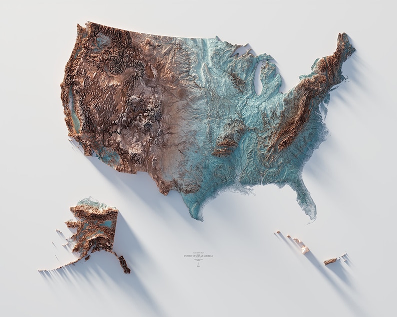
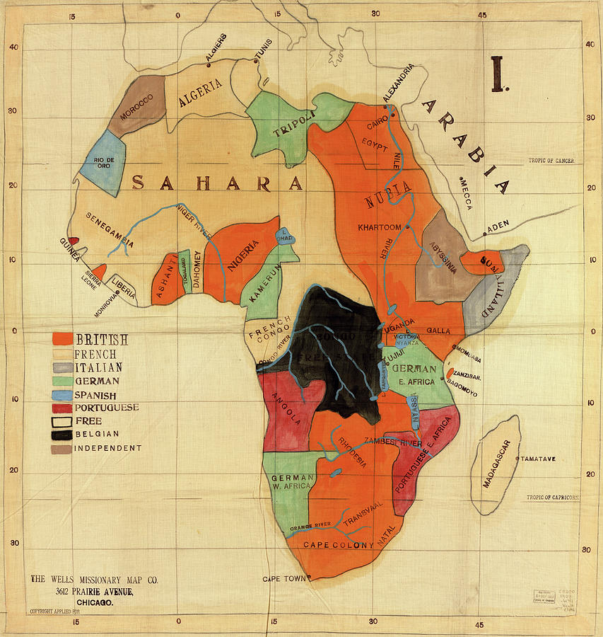
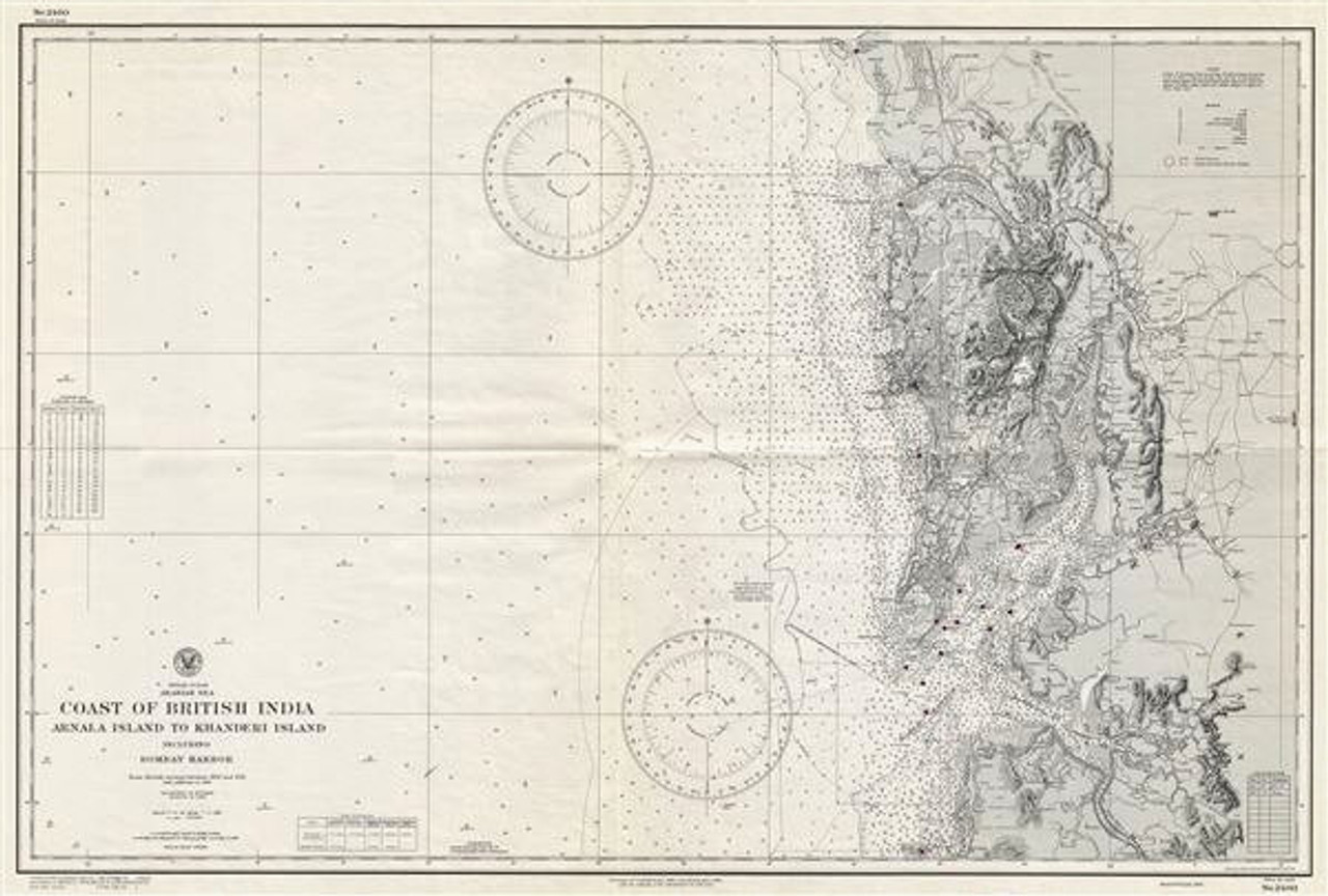
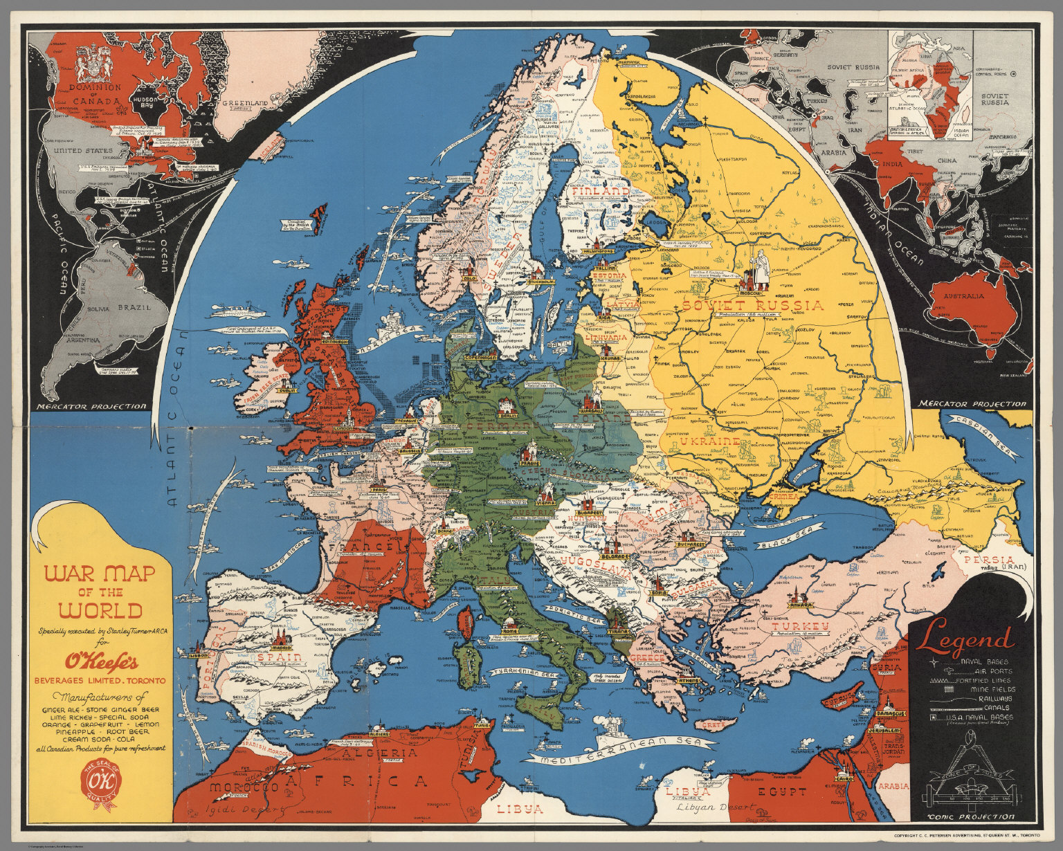
especially ones with weird errors. There’s a good book about maps that were drawn wrong or whole islands that never existed. It’s called The Phantom Atlas. Worth a purchase if cartographic oddities are your thing.
 

Tams

Member
I love a good map.

It was really the only thing I was good at on my university course. Almost got perfect scores in cartography and it saved my degree from being a shit grade. I've used it for zilch since though.
 
Top Bottom